


Trusted by Industry Leaders


Our Mission
At Alpha Drone Service, we harness cutting-edge drone technology to provide unparalleled environmental insights, empowering decision-makers to protect and nurture our planet with non-destructive, non-invasive inspections.


Aerial Solutions
Utility Inspections - Environmental Monitoring - Precision Agriculture
Urban Planning & Development - Oil and Gas Precision Mapping
Disaster Response & Management - Data Mining and Collection
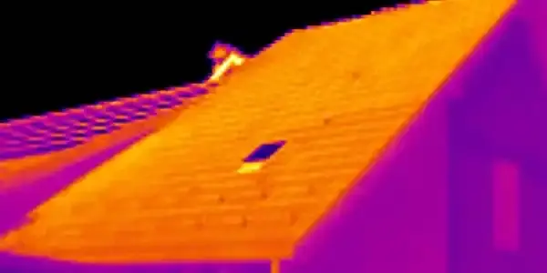
Thermal Imaging - RTK/PPK solutions
LiDAR - Photogrammetry
Innovation In Flight
Our state-of-the-art drones and AI-powered analytics deliver accurate, real-time data for informed environmental decisions. The precision behind the technology delivers a 4-dimensional solution.


Superior Data Accuracy
With NTRIP and SPARTN capabilities, the accuracy of the job is centimeter level accurate.
Increased Efficiency
Job progress can be monitored and evaluated from anywhere in the world
Gain a Competitive Edge with Alpha Drone Service

Enhanced Safety
Job sites can be scanned for potential safety hazards and addressed before problems arise
Versatile Applications
Software can be match to hardware to get the best results for the mission.
Our Impact
200K
Acres
Surveyed
98%
Client
Satisfaction rate
30%
Average Resource Savings For Clients
5M
Data Points
Collected


Aerial Perspectives
Let's Elevate Your Data
Ready to unlock the power of aerial environmental intelligence?